
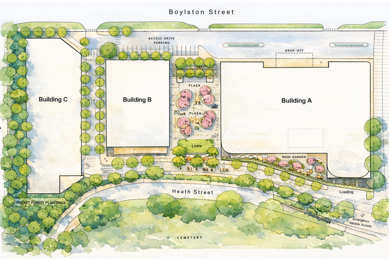
The Project
Meridian Chestnut Hill is a mixed-use redevelopment that includes housing, a hotel, medical offices, retail, restaurants and publicly accessible open space. The proposal replaces a stagnant office park with an active, walkable district that serves the broader community. It is designed to deliver clear public benefits on a site that has long been identified as one of Brookline’s best opportunities for redevelopment.
Meridian Chestnut Hill directly addresses the housing crisis and brings activity back to an underused site. The project includes:
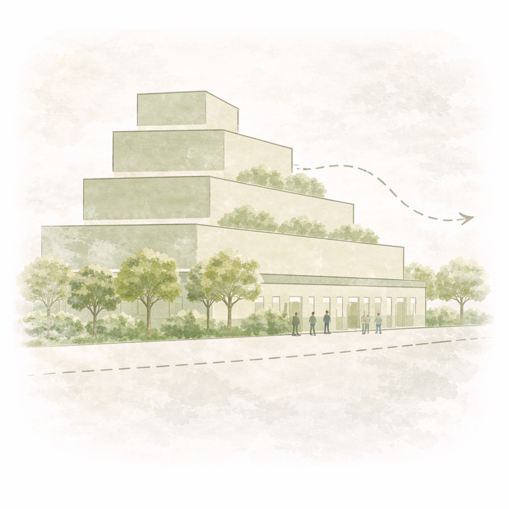
Three buildings of 7, 12 and 14 stories
266 homes, including 21 affordable units

A 200-room hotel

Medical office space

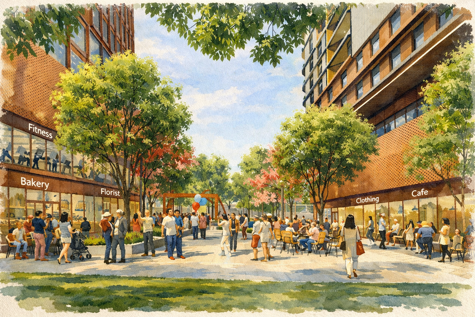
Ground-floor retail and restaurants

A public pedestrian plaza

Event and meeting space
The project is projected to generate up to $6.3 million per year in net new tax revenue for the town of Brookline, over and above the taxes currently paid and any costs associated with the project itself. The result is a stronger town budget without shifting costs onto homeowners.
It also includes a contribution of more than $10.9 million to Brookline’s Affordable Housing Trust Fund. This is the largest single contribution to the fund in the town’s history, and can be leveraged many times over to strengthen Brookline’s ability to create and maintain affordable housing beyond this one site.
Meridian Chestnut Hill benefits the entire town.
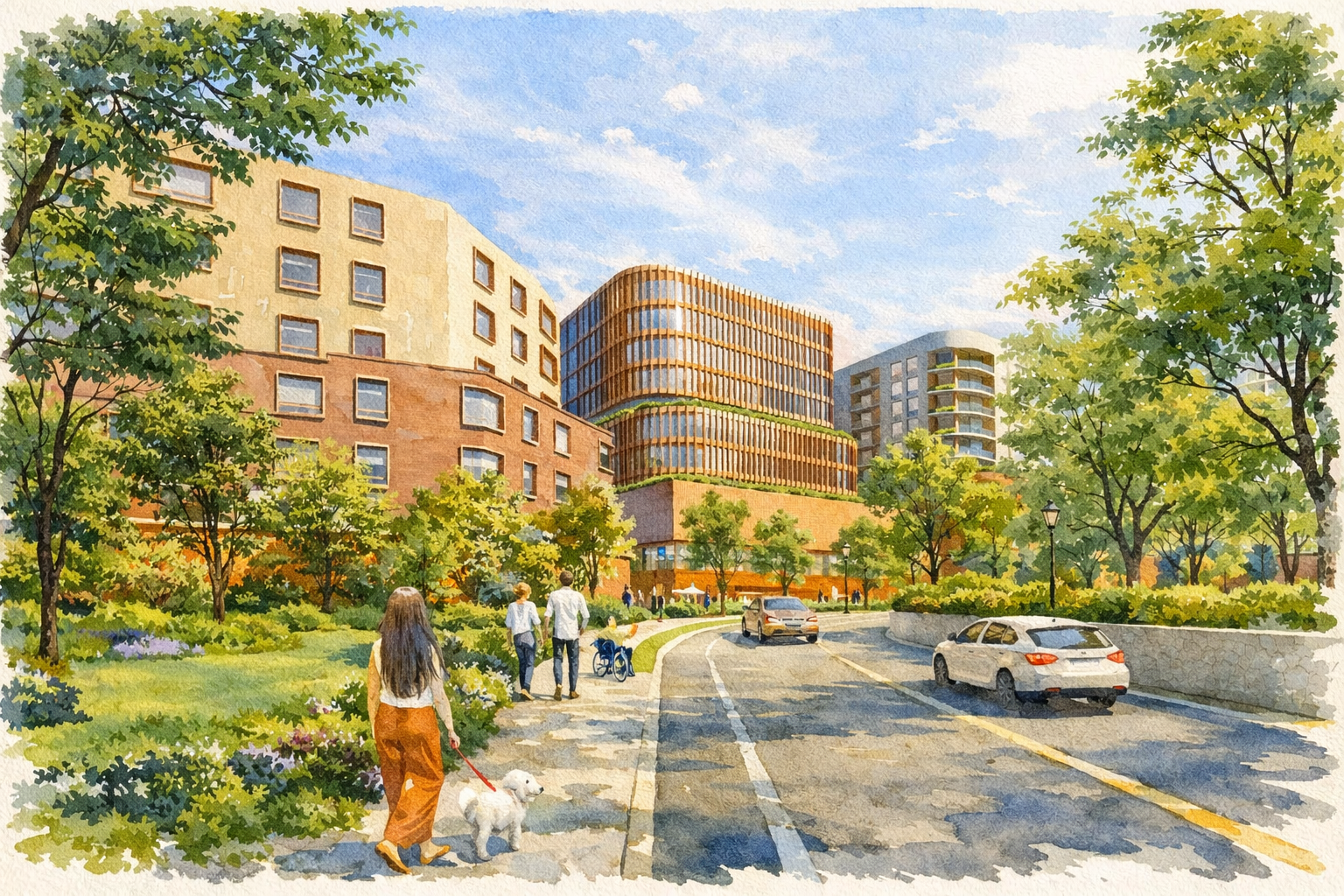
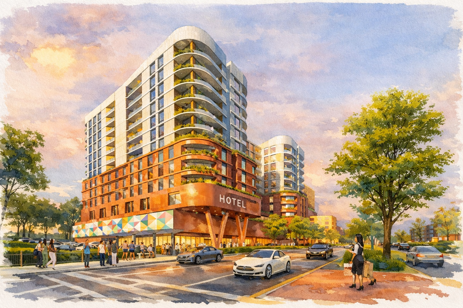
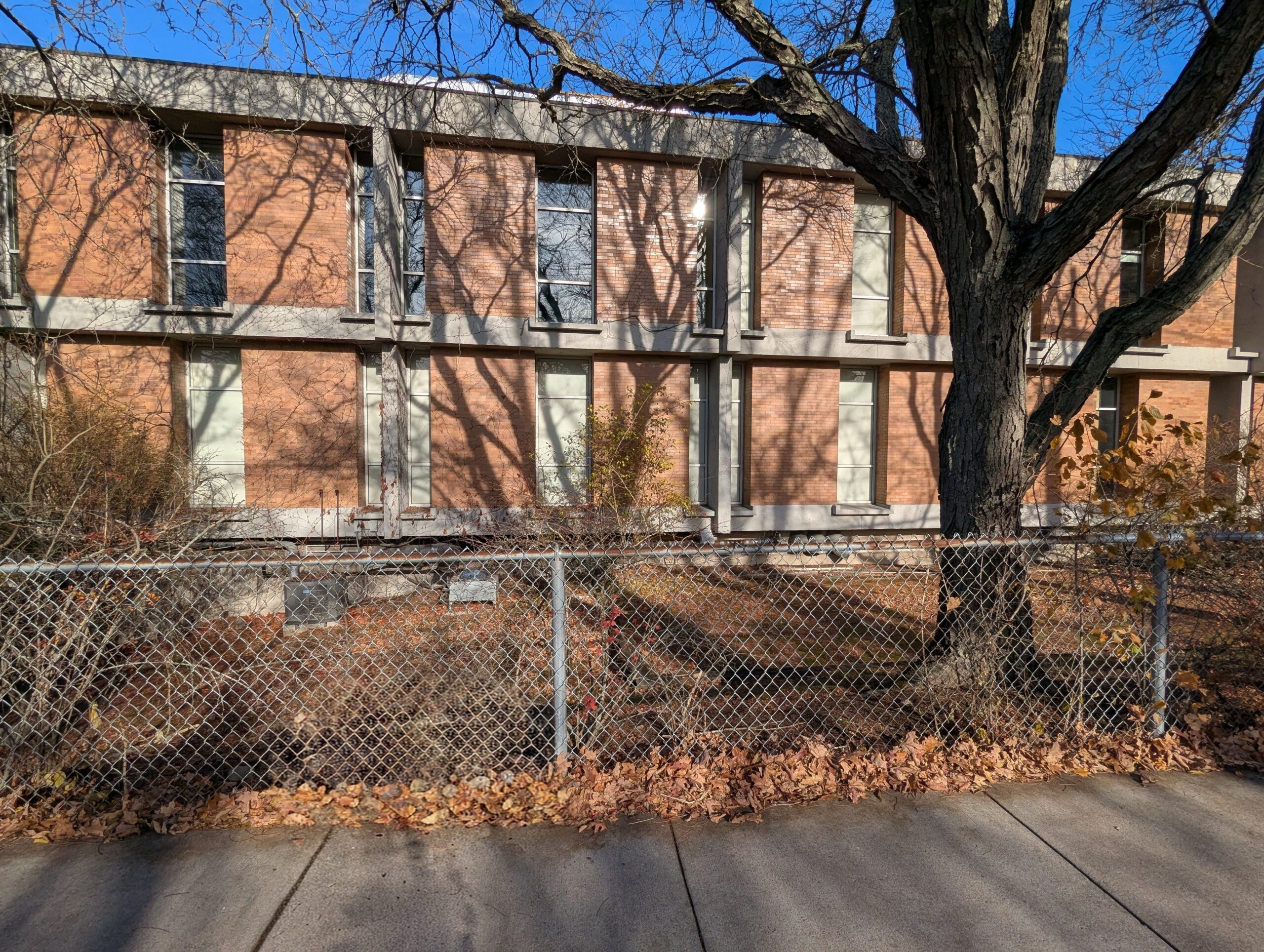
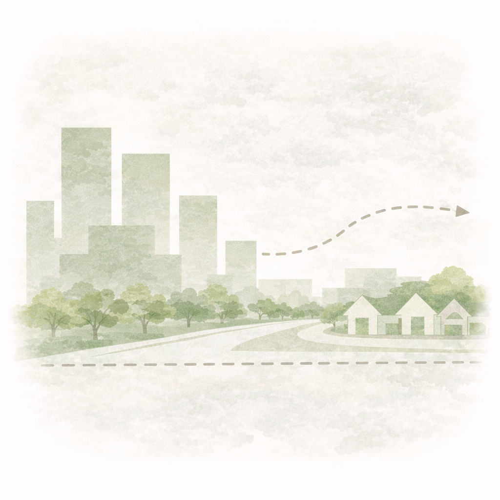
How the Site Could Change
These illustrative views compare the existing office park with a proposed mixed-use district designed to bring housing, public space, activity, and investment back to an underused site.
 Proposed
Before
Proposed
Before
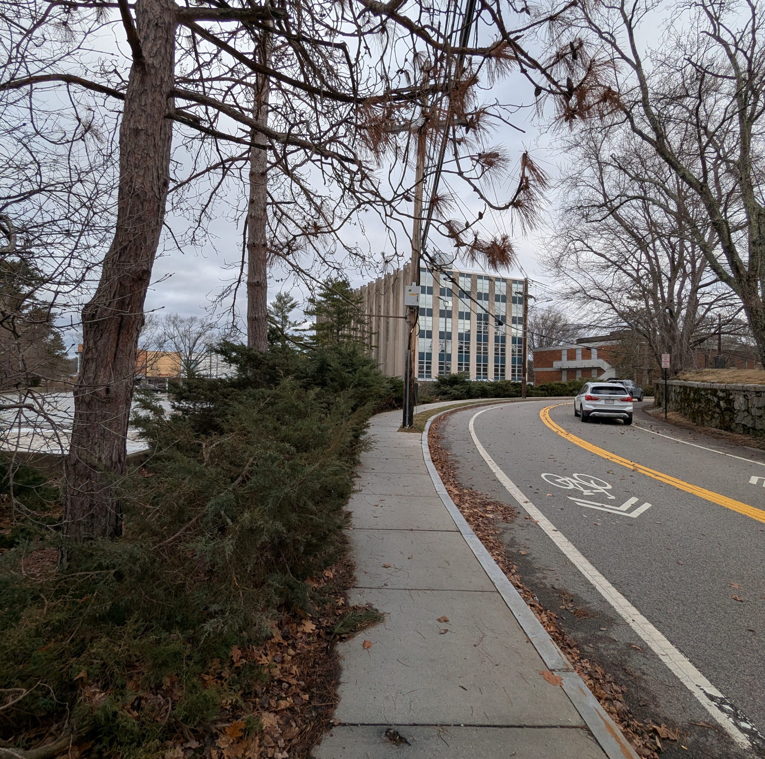
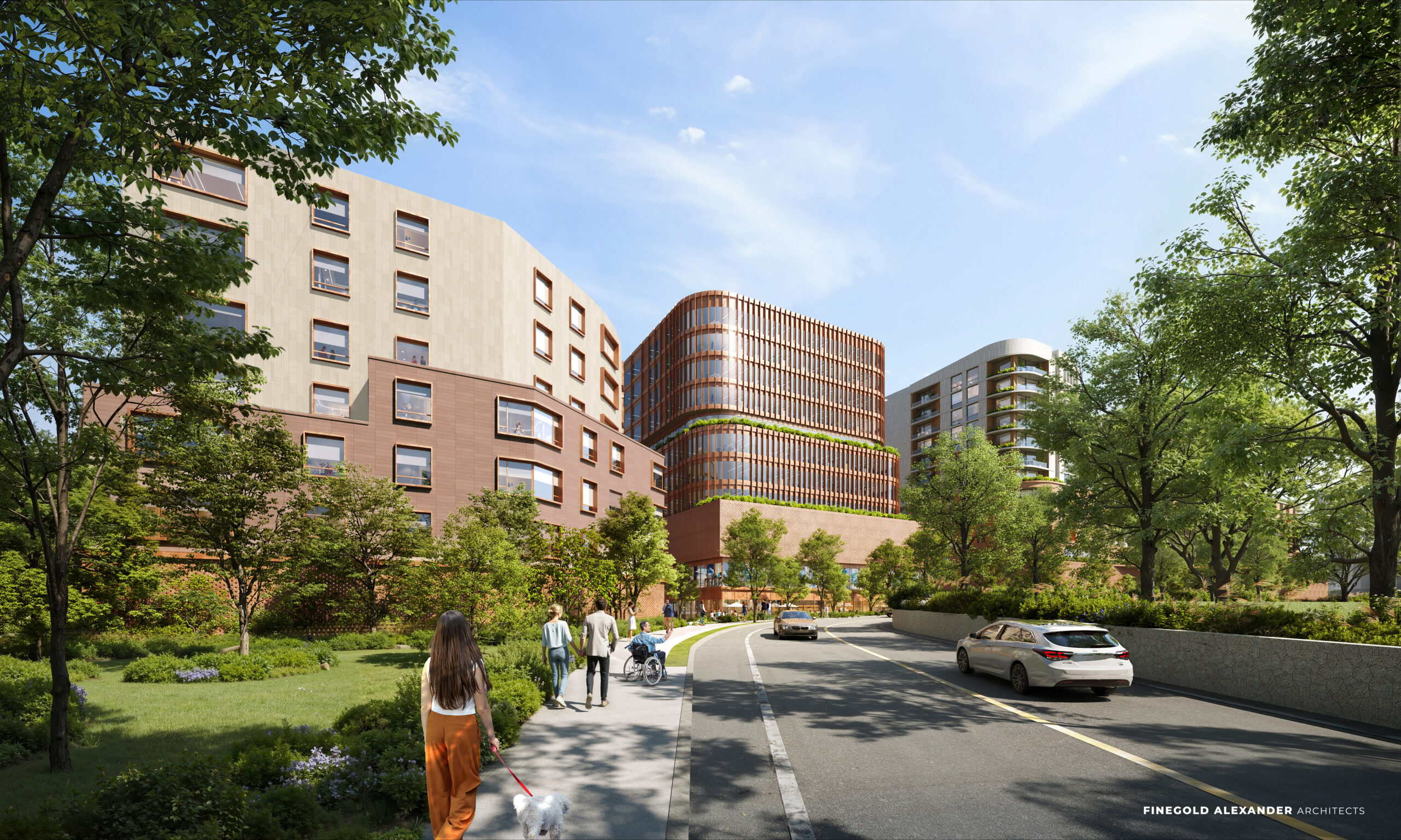
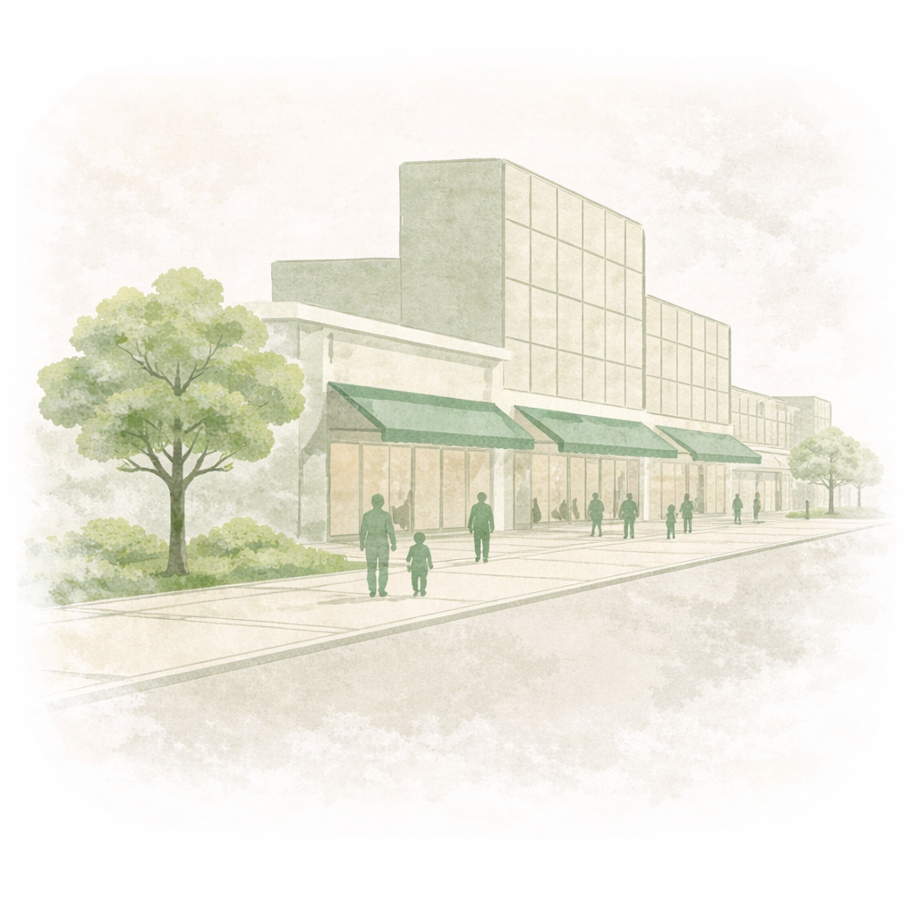
Heath Street View
A look at how the site edge could evolve from an inward-facing office park into a more active, welcoming street presence.
 Proposed
 Before
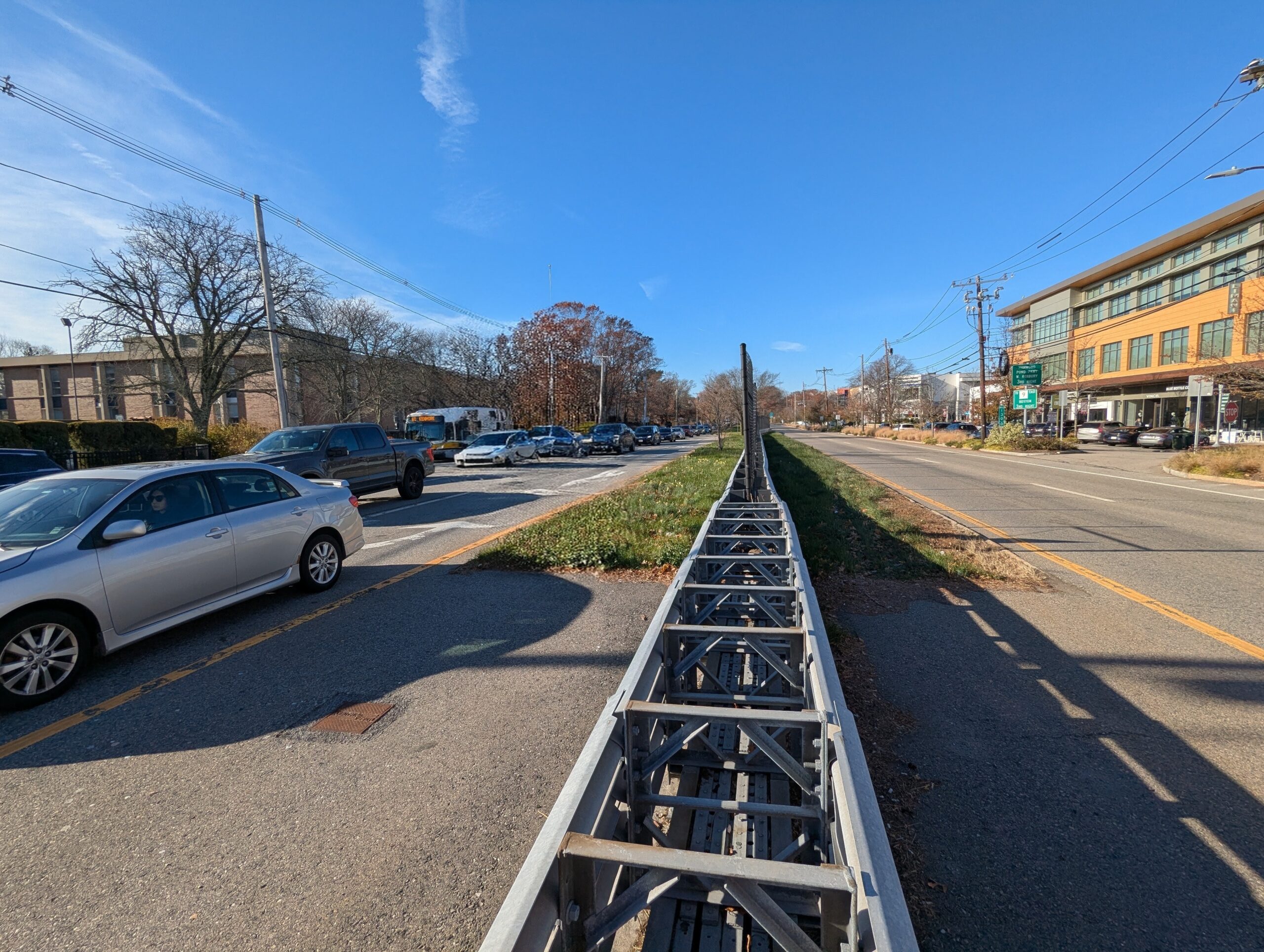
Route 9 Corridor
An illustrative comparison of today’s auto-oriented frontage and a potential future with more activity, greenery, and mixed use.
 Proposed
 Before
Public Space and Plaza
A comparison showing how underused site space could become an everyday public place with landscaping, gathering space, and active ground floors.
Community Priorities Guiding Our Design
Human-Scale Streets
& Active Ground Floors
Clear Transitions
& Setbacks
Concentrated height along existing commercial areas on Route 9, stepping down to residential neighbors
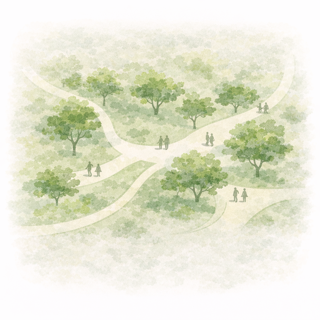
Improved green space and tree canopy
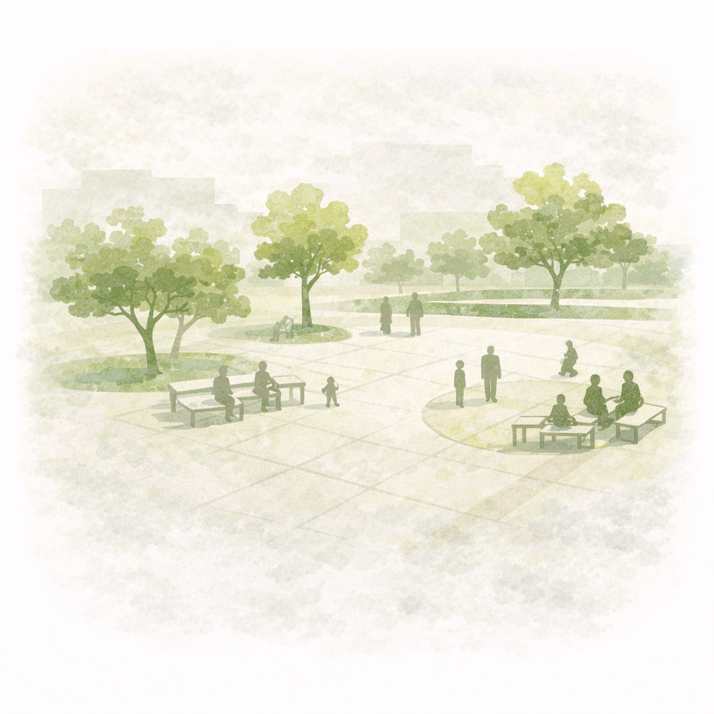
Public Space
for Everyday Use